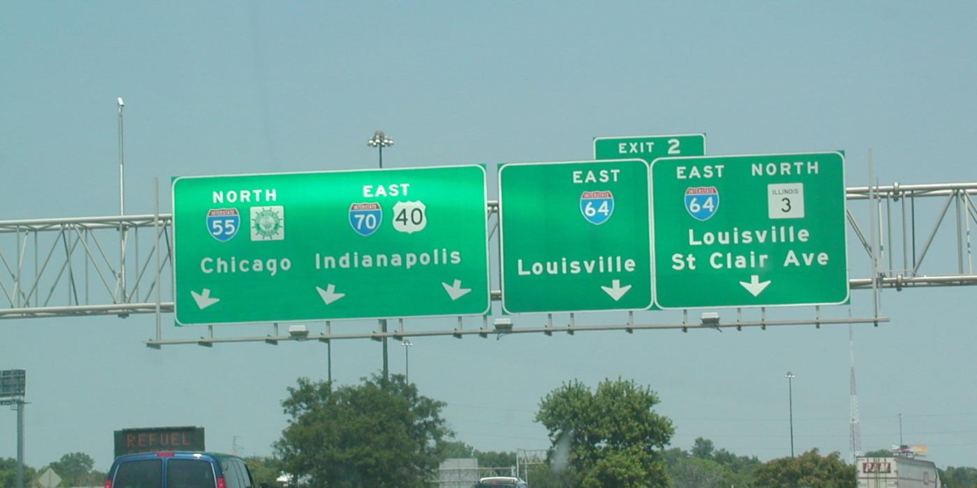
Driving to Louisville: Plan Your Road Trip : GoToLouisville.com Official Travel Source


Loading your recommendations…

Driving

Louisville is within a day’s drive of over half the U.S. population. Use the map below to plan your road trip!

Click map to enlarge
In ThisSection

Driving In The City

Driving around any new city can be stressful, but you will find Louisville to be a driver-friendly city with minimal traffic delays.

Louisville has many exciting construction projects in the downtown area, resulting in some road closures and potential detours; therefore, a partnership was created with Waze, the world’s largest community-based traffic and navigation app, to provide real-time traffic information to drivers.

We encourage you to download this app and use it as your navigator during your visit. Also, in coordination with Waze, the Louisville Downtown Partnership has an online map which also offers an up-to-date map with construction and closure information. Click here to access waze

Bridges

As you travel to-and-from Louisville, you can’t miss the newest members of our skyline….the new bridges over the Ohio River! The new bridges are toll bridges, but you never have to stop to pay a toll. If you set up a prepaid account and get a transponder, you pay the lowest toll rates. All E-ZPass transponders also work. If you wish to avoid tolls, you may use the Sherman Minton (I-64) or the Clark Memorial (2nd Street) bridges to come and go during your visit.

Click on the map below for assistance navigating your way to downtown Louisville!

Auto Rentals

Louisville has many national car rental agencies, whether you are arriving at the airport or just need a car for the day…the perfect vehicle is waiting for you! These auto rental agencies in Louisville Kentucky will get you where you need to go.

Search: